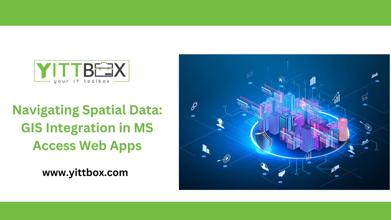
GIS Integration in MS Access Web Apps
In today's data-driven world, harnessing the power of Geographic Information Systems (GIS) is essential for businesses seeking to visualize and analyze spatial data effectively. This comprehensive guide explores the integration of GIS functionalities into MS Access Web Apps, providing insights into how businesses can leverage spatial data visualization for informed decision-making and enhanced data management. Dive into the world of GIS integration and unlock new possibilities for your MS Access Web Apps.
Understanding GIS Integration: Enhancing Data Insights
GIS integration in MS Access Web Apps enables users to visualize spatial data seamlessly within their database environment. We'll explore the fundamentals of GIS integration, including its benefits, functionalities, and applications in various industries. Discover how GIS enhances data insights and drives informed decision-making processes.
Visualizing Spatial Data: The Power of Maps in MS Access Web Apps
Maps are powerful tools for visualizing spatial data, and MS Access Web Apps offer robust capabilities for map integration. Learn how to create interactive maps directly within your database, enabling users to explore spatial relationships, identify patterns, and gain deeper insights into their data. From simple point maps to complex geographic overlays, unleash the power of spatial visualization in MS Access.
GIS Tools and Features: Leveraging Spatial Analysis in MS Access Web Apps
Delve into the GIS tools and features available in MS Access Web Apps for spatial analysis. From proximity analysis to spatial querying, we'll explore how these functionalities enable users to perform advanced spatial analysis directly within their database environment. Learn how to extract valuable insights from spatial data and optimize decision-making processes.
Data Integration and Compatibility: Seamless Integration with GIS Platforms
Compatibility between MS Access Web Apps and GIS platforms is crucial for seamless data integration. We'll discuss best practices for integrating spatial data from external GIS sources into your MS Access database, ensuring data accuracy, consistency, and reliability. Explore the various data formats and protocols supported by MS Access for GIS integration.
Customization and Configuration: Tailoring GIS Solutions to Your Business Needs
Every business has unique spatial data requirements, and MS Access Web Apps offer extensive customization and configuration options to meet these needs. Learn how to tailor GIS solutions to your specific business requirements, including customizing map layouts, symbology, and data visualization settings. Unlock the full potential of GIS integration in MS Access Web Apps.
Practical Applications: Real-World Examples of GIS Integration
Discover real-world examples of GIS integration in MS Access Web Apps across different industries. From urban planning and environmental management to retail site selection and logistics optimization, we'll explore how businesses are leveraging GIS capabilities to solve complex spatial challenges and drive operational efficiency. Gain inspiration from successful GIS integration projects and apply these insights to your own business.
Security and Compliance: Safeguarding Spatial Data in MS Access Web Apps
Security and compliance are paramount when working with spatial data. We'll discuss best practices for safeguarding spatial data within MS Access Web Apps, including data encryption, access controls, and compliance with industry regulations. Ensure the confidentiality, integrity, and availability of your spatial data assets.
Future Trends: The Evolving Landscape of GIS Integration
As technology continues to evolve, so too does the field of GIS integration. We'll explore emerging trends and innovations in GIS integration, such as cloud-based GIS solutions, artificial intelligence (AI) integration, and real-time spatial data analysis. Stay ahead of the curve and prepare your business for the future of spatial data management.
Conclusion: Embracing the Power of GIS Integration in MS Access Web Apps
In conclusion, GIS integration in MS Access Web Apps offers businesses a powerful tool for visualizing, analyzing, and managing spatial data. By harnessing the capabilities of GIS, businesses can gain valuable insights, make informed decisions, and drive operational excellence. Embrace the power of GIS integration and unlock new possibilities for your MS Access Web Apps.
For personalized insights, reach out to us at [Sales@Yittbox.com].